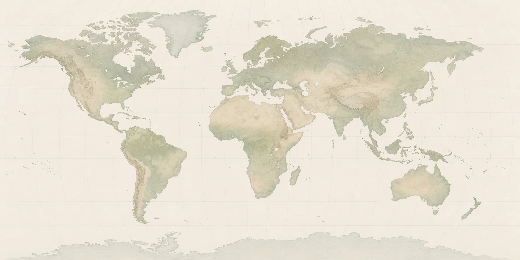
Private Utility and Site Feature Documentation
Site Evaluation
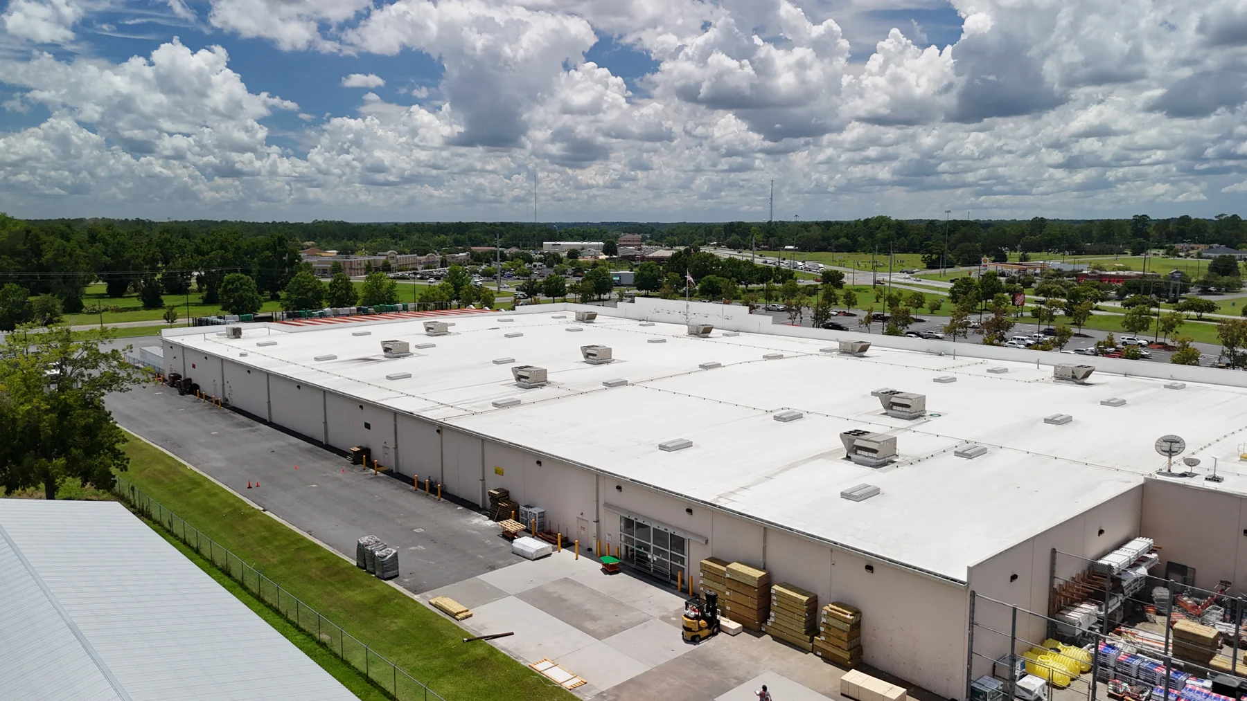
Understand existing property conditions through aerial imagery, site photographs, and documentation of visible features. We help you identify the areas you want to understand better and organize a clear visual record for planning and discussion.
Project Consulting
Turn your project goals into a practical documentation plan. We help you decide what information to collect, which maps or visuals will be useful, and how to organize the deliverables so you can discuss next steps with the people involved.
GIS Mapping
For agreed mapping projects, you receive a finished map plus the underlying mapping data files. We document visible features such as wells, gates, water access, and electrical equipment; underground information is owner-reported. Property-feature maps include Google Earth-compatible KML/KMZ as standard. These organize the agreed property features for planning, reference, and discussion. Features, formats, and the software you plan to use are confirmed before work begins.
Drone Photography and Video
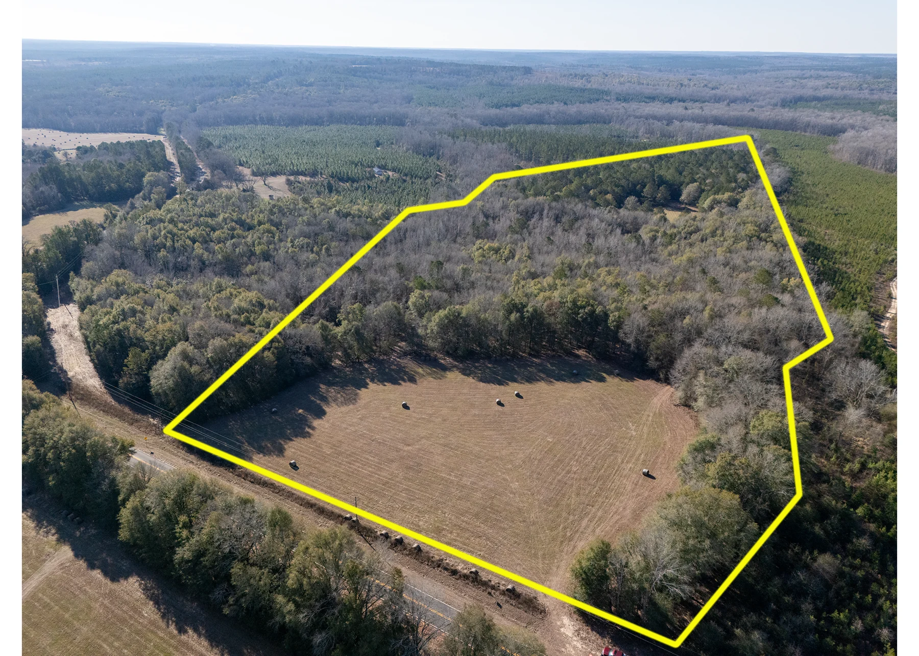
Receive aerial photo and video files showing the agreed property features, access, or surroundings. These provide a visual record or site overview. Tell us whether you need photographs, video, or both, and what they should show.
Terrain & Contour Mapping
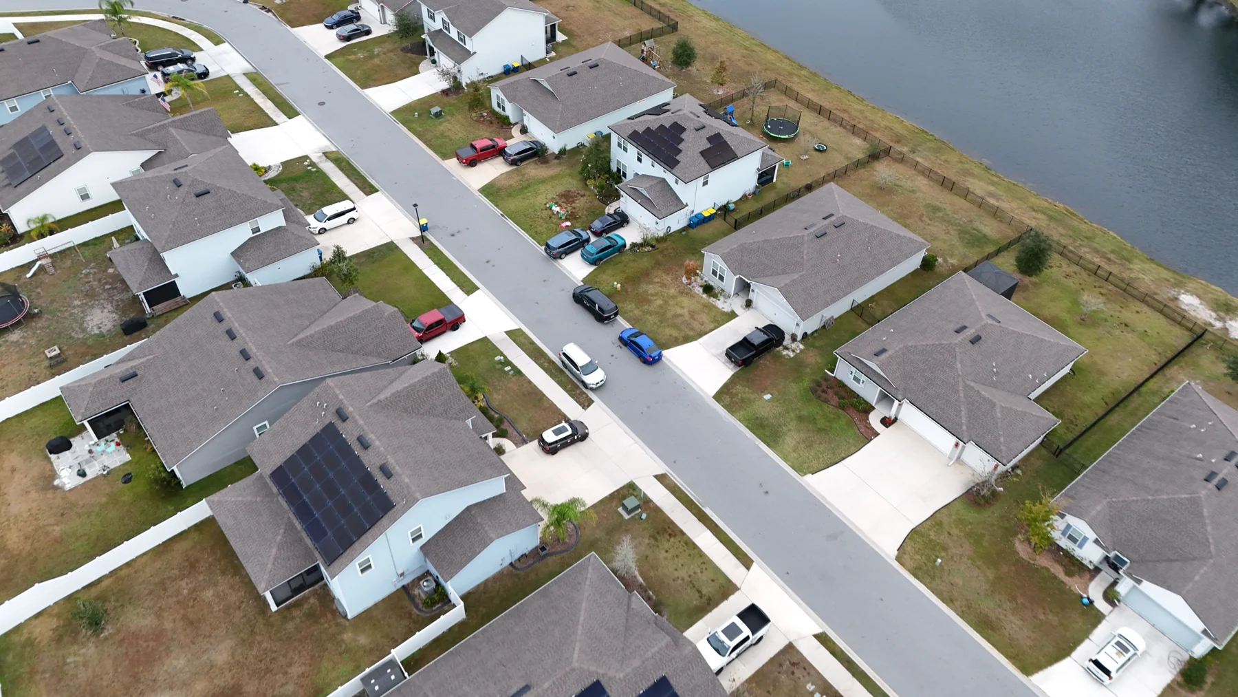
Understand terrain shape, high and low areas, and potential drainage patterns. Useful visual references for discussions about drainage, ponds, and site planning. Outputs and their intended use are agreed for each project. Elevation units, reference, and accuracy must be confirmed before measurement or design use; these maps do not establish legal property boundaries.
3D Models
Where suitable imagery supports a model, the 3D deliverable can include a phone-friendly viewing link and a downloadable model file. Rotate and zoom to explore visible features as a visual reference. File compatibility, link access, and the availability period are agreed in the quote.
Let’s discuss your project
Tell us about your property, what you want to accomplish, and the information you need. We’ll help identify a suitable approach and explain the available deliverables.